
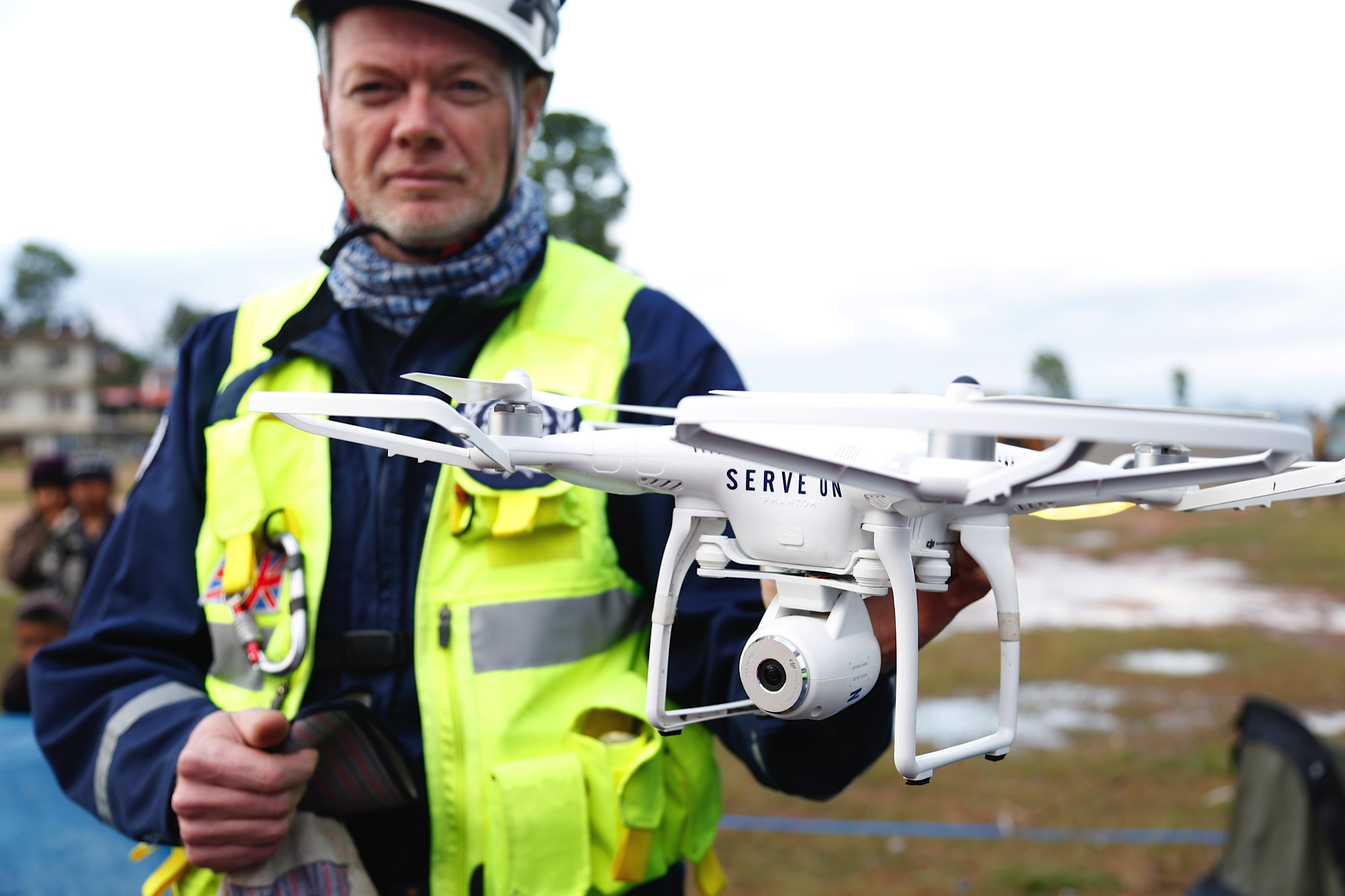
Drone Used during Earthquake
A member of “Serve On” holds up a flying drone – used to help identify areas that are worst-hit by the earthquake in Nepal on April 25 2015. The group have joined up with the UK’s International Search and Rescue (UKISAR) team around the area of Chautara. File:Drone surveillance helps search and rescue in Nepal (16691214064).jpg by Jessica Lea/DFID and licensed under the Creative Commons Attribution 2.0 Generic license.
- File Name: Drone-Earthquake-Surveillance-Rescue.jpg
- File type: jpg
- File size: 378.76 KB
- Dimensions: 2000 x 1333
- Date: July 5, 2022
- SEO Title:
- SEO Description:
- SEO Keywords:
- Post or page attached: Drones in Manufacturing,